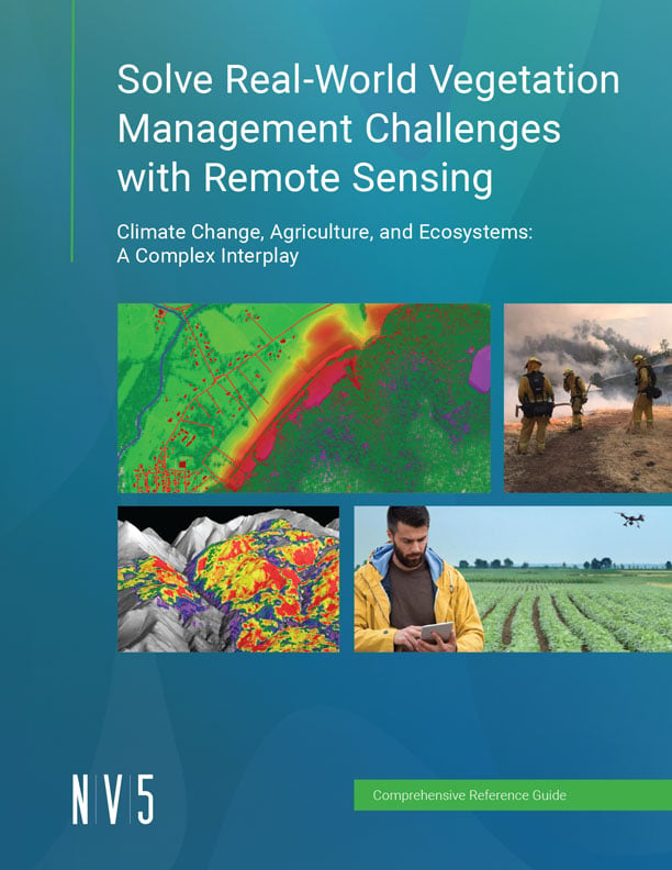
This Reference Guide is designed for diverse audiences.
For Novices:
- Simplified Concepts: Step into the world of remote sensing and vegetation management with easy-to-understand explanations.
- Practical Guides: Learn foundational principles and practical applications to get you started.
For GIS Experts:
- Advanced Tools: Dive deep into sophisticated remote sensing tools and techniques.
- Integration Insights: Discover how to integrate remote sensing with your existing GIS knowledge.
For Professionals:
- Nuanced Strategies: Enhance your current remote sensing strategies with expert tips and best practices.
- Innovative Solutions: Stay at the forefront of vegetation management innovations with the latest insights.
New Reference Guide
Solve Real-World Vegetation Management Challenges with Remote Sensing
In today's rapidly changing climate, effective vegetation management is more critical than ever.
This reference guide offers practical insights and cutting-edge remote sensing techniques to tackle the challenges.
Discover the Power of Remote Sensing:
- Gain insights into the latest technologies, including satellites, drones, and advanced sensors.
- Learn how to leverage spectral images, LiDAR, and SAR data for effective natural resource management.
- Explore real-world applications in agriculture, forestry, water conservation, invasive species control, and more.
- Equip yourself with practical strategies and innovative solutions for sustainable environmental management.
- Understand how deep learning and advanced analytics can transform your approach to vegetation management.
Fill out the form below to download now.
